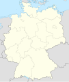
File:East Germany location map.svg
外觀
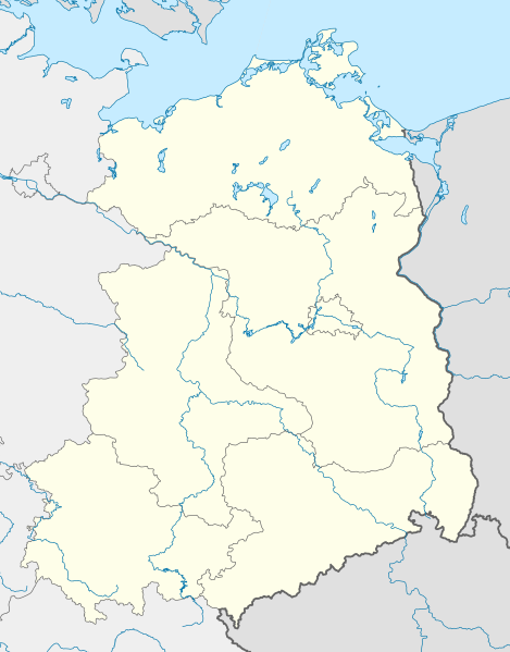
此 SVG 檔案的 PNG 預覽的大小:469 × 599 像素。 其他解析度:188 × 240 像素 | 376 × 480 像素 | 601 × 768 像素 | 802 × 1,024 像素 | 1,604 × 2,048 像素 | 618 × 789 像素。
原始檔案 (SVG 檔案,表面大小:618 × 789 像素,檔案大小:966 KB)
檔案歷史
點選日期/時間以檢視該時間的檔案版本。
| 日期/時間 | 縮圖 | 尺寸 | 使用者 | 備註 | |
|---|---|---|---|---|---|
| 目前 | 2010年4月21日 (三) 16:57 |  | 618 × 789(966 KB) | TUBS | {{Information |Description= {{de|Positionskarte von Ostdeutschland (neue Länder + Gesamtberlin) mit Gewässern}} Quadratische Plattkarte, N-S-Streckung 150 %. Geographische Begrenzung der Karte: * N: |
檔案用途
下列11個頁面有用到此檔案:
全域檔案使用狀況
以下其他 wiki 使用了這個檔案:
- ar.wikipedia.org 的使用狀況
- ceb.wikipedia.org 的使用狀況
- de.wikipedia.org 的使用狀況
- Sportclub (DDR)
- Fußball-Regionalliga Nordost (2012)
- Fußball-Regionalliga 1994/95
- Fußball-Regionalliga 1995/96
- Fußball-Regionalliga 1996/97
- Fußball-Regionalliga 1997/98
- Fußball-Regionalliga 1998/99
- Fußball-Regionalliga 1999/2000
- Fußball-Oberliga Nordost 2007/08
- Vorlage:Positionskarte Deutschland Neue Bundesländer
- Wikipedia:Kartenwerkstatt/Positionskarten/Europa
- Jagdfliegergeschwader 1
- Datei:Bornkinnel Verbreitung.png
- Fußball-Oberliga Nordost 1993/94
- Fußball-Oberliga Nordost 1992/93
- Fußball-Oberliga Nordost 1991/92
- DDR-Fußball-Liga 1990/91
- Fußball-Oberliga Nordost 1994/95
- Eishockey-Regionalliga 2009/10
- Fußball-Oberliga Nordost 2008/09
- Fußball-Oberliga Nordost 2009/10
- Fußball-Oberliga Nordost 1998/99
- Fußball-Oberliga Nordost 1997/98
- Fußball-Oberliga Nordost 2010/11
- Jagdfliegergeschwader 8
- Jagdfliegergeschwader 7
- Fußball-Oberliga Nordost 2011/12
- Benutzer:JoeXHD/Artikelwerkstatt Landkarten
- Fliegerausbildungsgeschwader 15
- Fußball-Oberliga Nordost 2012/13
- Fußball-Regionalliga Nordost 2012/13
- Fußball-Regionalliga Nordost 2013/14
- Fußball-Oberliga Nordost 2013/14
- Fußball-Regionalliga 2013/14 (Frauen)
- Fußball-Regionalliga Nordost 2014/15
- Fußball-Oberliga 2014/15
- Fußball-Regionalliga 2014/15 (Frauen)
- Fußball-Oberliga Nordost 2014/15
- Benutzer:Scialfa/Sportclubs
- Fußball-Regionalliga Nordost 2015/16
- Fußball-Oberliga Nordost 2015/16
- Fußball-Regionalliga 2015/16 (Frauen)
- Benutzer:JoeXHD/Artikelwerkstatt/Landkarten/U19-Fußball Deutschland
- Fußball-Regionalliga Nordost 2016/17
- Fußball-Oberliga Nordost 2016/17
- Fußball-Regionalliga 2016/17 (Frauen)
- Fußball-Oberliga 2016/17
檢視此檔案的更多全域使用狀況。


