Rhisnes, Namur
Appearance
Rhisnes | |
|---|---|
Suburb of Namur | |
 Blood center of the Belgian Red Cross | |
| Coordinates: 50°29′28″N 4°47′53″E / 50.49111°N 4.79806°E | |
| Country | |
| Community | |
| Region | |
| Province | |
| Arrondissement | Namur |
| Municipality | Namur |
| Area | |
• Total | 0.6702 km2 (0.2588 sq mi) |
| Population (2017-03-02) | |
• Total | 24 |
| • Density | 36/km2 (93/sq mi) |
| Postal codes | 5020 |
| Area codes | 081 |
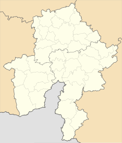
Rhisnes (French pronunciation: [ʁin]) is a suburb of the city of Namur located in the province of Namur, Wallonia, Belgium. But in some sources, Rhisnes is mentioned as a "section" (sub-municipality).[1]
The suburb is bounded on the north by the E42/A15 motorway (exit number 12 Namur-Ouest (Namur West)), to the east by the N904 road, and to the west by the N4 road. The dominant features in the suburb is the Namur-Nord-Rhisnes (Namur North Rhisnes) business park and the Ecolys park. The neighbouring old Suarlée Fort and park lands are just outside the suburb.[citation needed]
References
[edit]- ^ "NAMUR EN CHIFFRES - 2010". Archived from the original (PDF) on 2021-11-10. Retrieved 2024-01-18.


