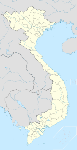
Bình Chánh district
Appearance
This article needs additional citations for verification. (November 2019) |
Bình Chánh district
Huyện Bình Chánh | |
|---|---|
 Position in the metropolitan area of HCMC | |
| Coordinates: 10°45′01″N 106°30′45″E / 10.75028°N 106.51250°E | |
| Country | |
| Municipality | Ho Chi Minh City |
| Capital | Tân Túc |
| Area | |
• Total | 253 km2 (98 sq mi) |
| Population (2019) | |
• Total | 705,508 |
| • Density | 2,800/km2 (7,200/sq mi) |
| Demographics | |
| • Main ethnic groups | predominantly Kinh |
| Time zone | UTC+07 (ICT) |
| Website | binhchanh.hochiminhcity.gov.vn |
Bình Chánh is an rural district (huyện) in the southwest of Ho Chi Minh City in Vietnam. High urbanization rate has made Bình Chánh become one of a high population growth districts in the city. As of 2019, the district had a population of 705,508.[1] It covers an area of 253 km2. The district capital lies at Tân Túc.[2]
Bình Chánh district borders District 7, District 8, Bình Tân district, Hóc Môn District and Nhà Bè District.
References
[edit]- ^ thanhnienviet.vn (2021-02-26). "Giới thiệu tổng quan về huyện Bình Chánh Thành phố Hồ Chí Minh". thanhnienviet.vn (in Vietnamese). Retrieved 2024-11-07.
- ^ "HCMC's Population and population density in 2010 by district". HCMC Office of Statistics. Archived from the original on July 5, 2017. Retrieved Feb 4, 2014.
External links
[edit]- UBND Huyện Bình Chánh Thành phố Hồ Chí Minh[permanent dead link]—official website


