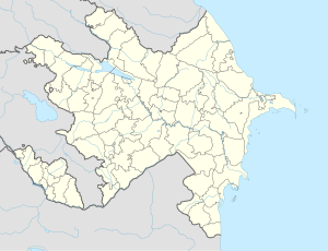
Danyeri
Appearance
Danyeri | |
|---|---|
Municipality | |
| Coordinates: 39°30′39″N 45°03′05″E / 39.51083°N 45.05139°E | |
| Country | |
| Autonomous republic | Nakhchivan |
| District | Sharur |
| Population (2005)[citation needed] | |
• Total | 2,874 |
| Time zone | UTC+4 (AZT) |
Danyeri (formerly, Yenikənd[1]) is a municipality and village in the Sharur District of Nakhchivan Autonomous Republic, Azerbaijan. It is located in the near of the Nakhchivan-Sadarak highway, 15 km in the south-east from the district center, on the plain. Its population is busy with farming and animal husbandry. There are secondary school, 3 clubs, library, kindergarten and a medical center in the village. It has a population of 2,874.[2]
Etymology and History
[edit]It was built for the workers during the construction of the Water Reservoir of Arpaçay on the Arpachay River. Since 1975, this settlement was named as Yenikənd (new village). Since 2003, the name of the village is officially registered as Danyeri.[3]
References
[edit]- ^ Azerbaijan Parliament renaming law
- ^ ANAS, Azerbaijan National Academy of Sciences (2005). Nakhchivan Encyclopedia. Vol. I. Baku: ANAS. p. 121. ISBN 5-8066-1468-9.
- ^ Encyclopedic dictionary of Azerbaijan toponyms. In two volumes. Volume I. p. 304. Baku: "East-West". 2007. ISBN 978-9952-34-155-3.


