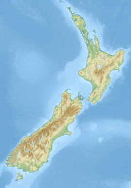
Little Crow River
Appearance
| Little Crow River | |
|---|---|
 Route of the Little Crow River | |
| Location | |
| Country | New Zealand |
| Physical characteristics | |
| Source | Wharepapa / Arthur Range |
| • coordinates | 41°17′55″S 172°36′00″E / 41.29859°S 172.59996°E |
| Mouth | |
• location | Crow River |
• coordinates | 41°17′32″S 172°28′07″E / 41.29216°S 172.46865°E |
| Length | 7 kilometres (4.3 mi) |
| Basin features | |
| Progression | Little Crow River → Crow River → Karamea River → Ōtūmahana Estuary → Karamea Bight → Tasman Sea |
The Little Crow River is a river of the northwest of New Zealand's South Island.[1] It flows south from the southern end of the Wharepapa / Arthur Range to join with the waters of the Crow River. The entire length of the Little Crow River is within Kahurangi National Park.
See also
[edit]References
[edit]- ^ "Place name detail: Little Crow River". New Zealand Gazetteer. New Zealand Geographic Board. Retrieved 21 April 2010.


