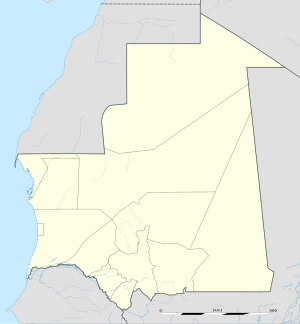
Magta Lahjar
Appearance
Magta Lahjar | |
|---|---|
Commune and town | |
| Coordinates: 17°26′54″N 13°8′20″W / 17.44833°N 13.13889°W | |
| Country | |
| Region | Brakna |
| Government | |
| • Mayor | Moussa O/ Cheikh Ahmedou (PRDS) |
| Area | |
• Commune and town | 267.8 sq mi (693.7 km2) |
| Population (2013 census) | |
• Commune and town | 18,616 |
| • Density | 70/sq mi (27/km2) |
| • Urban | 12,498 |
| Time zone | UTC+0 (GMT) |
Magta Lahjar is a town and commune in the Brakna Region of southern Mauritania.[1]
In 2013, it had a population of 18,616.[2][3]
References
[edit]- ^ "Collectivités urbaines à vocation agricole, pastorale ou agropastorale". République Islamique de Mauritanie:Communes de Mauritanie. Retrieved January 17, 2009.
- ^ "Magta-Lahjar (Agricultural Urban Commune, Mauritania) - Population Statistics, Charts, Map and Location". www.citypopulation.de. Retrieved 2024-02-15.
- ^ "Statistiques Demographiques: Résultats du RGPH 2000 des Wilayas". République Islamique de Mauritanie. Archived from the original on February 3, 2010. Retrieved January 17, 2009.

